Table of Contents
CONCEPT OF SPATIAL HETEROGENEITY-
Understanding Spatial inequality or spatial heterogeneity is a major need of the hour, stating the different verses of differences. In terms of socioeconomics, this condition impacts the major sectors of healthcare, infrastructure, public services, welfare, and so on. Such distribution occurs in, Urban- Urban, Urban-Rural divide, majorly where the differential factor is more, even being the part of the same geographical unit. This heterogeneity has also affected the population health, and understanding the wide inequality of provisions can act as a support for the development of policies, strategies, and interventions acting for the morbidity and mortality of different diseases.
SPATIAL HETEROGENEITY THROUGH SOCIAL LENS
While talking in terms of socio-spatial inequalities, they spread all over the world, which were created due to the differences in social and economic patterns. Even though it cannot be easily seen through naked eyes being on the ground, but when we take up a look from a different perspective we can understand that the reality is far away from what we see every day. The difficulties people face problems to live due to the extremities in wealth and privileges provided.
PERSPECTIVE OF BUILT ENVIRONMENT
In terms of Town and Urban planning, architecture, and civil engineering, we refer to the built environment as the man-made surrounding which helps the societies to settle down providing a variety of provisions such as shelter, buildings (commercial, residential, institutional, etc.), streets, walkways and so on. But when we link spatial inequality with the built environment, a different world can be imagined.
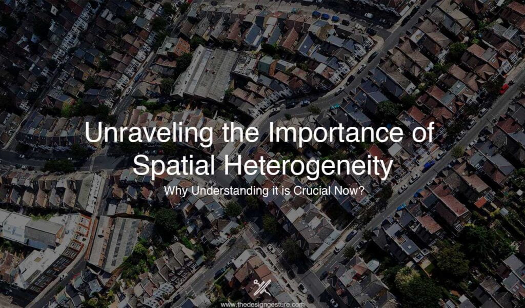
According to some influential scholars, researchers as well as photographers a study could be analysed, how much discrepancy occurs just because of the difference in the standard of living of people creating spatial inequality to its extreme? A very famous photographer Johnny Miller took a view above a ground, aerial view of few countries and led to the conclusion that this thought of people has led to an unequal patch of the built environment.
ECOLOGICAL IMBALANCE – A CAUSE TO TALK ABOUT-
This inequality has led to the ecological imbalance too, by creating a difference in the use of resources and availability of resources in some places becomes a burdened situation on the environment as well. Most of the factories built nearby water bodies have created a really bad impact on them whereas the “so-called, economically backward” areas experience a shortage of water.
This is really an alarming situation all over the world where people should understand how much homogeneity and uniformity is required in any sector, instead of which we people are trying to create bars of differences and creating non uniform patterns leading to an ill effect on the environment and indirectly or directly impacting us, worsening with the progressing days. Hard to accept but yes, the mentality and thought process of people is getting corrupted with time formulating some such disturbing situations for the whole world.
LIVE EXAMPLES OF THE SCENARIO
It’s really heart breaking to see people die just due to the lack of healthcare facilities which is again a result of spatial inequality being consistently maintained. Few of the live examples are proof of how all this has impacted our cities, let’s see some of them.
HUBLI- DHARWAD
“The twin cities” the reason behind taking up this is due to its historical emergence as a twin city and then with time getting transformed into a neoliberal urban area with a set of various policies such as democratic decentralization, introducing e-governance system and majorly privatization of water. It’s the area is located on the Mumbai- Bangalore corridor, which is an Urban- Urban divisional space. This area is known to be the 3rd largest urban centre after Bangalore and Mysore. The two cities, Hubli and Dharwad are distant by 18kms from each other but are governed under a single administrative unit which was united under Hubli- Dharwad Municipal Corporation (HDMC) in the year 1962.
There is another city located on the way from Hubli to Dharwad namely, Navnagar, known for being agriculturally rich and getting upgraded into an Urban activity center. According to the administration, Navnagar comes under the Dharwad municipal division, famous for being the first city of Karnataka to get privatization of water done for 24X7 and setting up ward committees all over the 67 different wards providing e governance system for the public grievances, But what about the inequality occurring as constraints in the growth of the cities, taking place in the undulating terrain and creating a Spatial gap impacting the location of different facilities.
Now, this contrast the “SLUMS” came into existence. Now they are the ones lagging and facing the taxing situations in the sectors of healthcare, connectivity, sanitary issues, and much more, Isn’t it what we gained from Spatial inequality. Now, this is how they have affected the facilities and provisions, let’s move on to a new reformation of cities over history.
SURAT
“the city of diamonds and textiles”. The city is internationally famous for these two industries and has caused some surprisingly high growth in few years. This spatial development occurred over years but has caused an alarming situation for the environment, being situated in the eco-sensitive areas it is a very crucial point to be kept in mind, not to be harmful to the areas of Arabian sea on one side and lower mangrove area on the other side. It was a difficult situation to tackle as towards west(Arabian sea) it was not possible to expand the city, so people started targeting the southwest area(towards lower lying waterbody and mangroves) due to lower land prices, creating rupture of rules and regulations.
The expansion took place connecting the city to the Navsari area, but the environment was still in a state of concern. Many of the developers came into the picture and moved into this area to take over the development process, taking advantage of the rupture which had occurred. This caused the spatial juxtaposition as both Navsari and Surat have their peripheral region to be expanded. This still creates alarming conditions all over the south-western region which is highly eco-sensitive but is trapped under the rent-seeking contractors and developers enforcing real estate projects taking advantage of the low-cost lands, but causing very ill effects on the environment.
Now, this was the situation where we could see how bad the condition is occurring due to the spatial inequality in both the cities, Surat and Navsari, even leading to political conflicts as well. Let’s have a look at another city with almost a similar situation but degrading at a faster rate.
INDORE
“the mini Mumbai”. The city located in Madhya Pradesh has been the fastest-growing metropolitan city with a very dense concentration of economic activities going on there. The application of spatial inequality or in other words, Neoliberal Urbanism is heavily exhibited in the area creating a variety of situations. In accordance with the JNNURM, allowance for private participation and providing flexibility for managing land was approved. With the ongoing process, a major part of declination occurred in the agricultural field of action by 14 percent reduction of land.
This made the village panchayats provide a no-objection certificate through the ruptured method with non-regular or illegal processes to the rent-seeking developers to have an approach easier to dealing with the areas. Unwantedly and unplanned development have occurred leading to expansion of areas which are majorly the contribution of these private developers and the rest done by the MP housing board and the governmental bodies of Indore. Now the question arises, how come it is harmful to proceed with Spatial Inequality in it? The very much relevant answer is the declination of agricultural lands, converting them into real estate projects. This has induced an imbalance in the ratio of built and unbuilt environments causing discrepancies.
All these cities being the metropolitan areas are on a major hold of this situation but then they are encouraging rent-seeking developers through the ruptured legal bodies misusing the neoliberal urbanism. Had it been done in a planned and proper manner, it would have occurred at a correct pace and would not have created the differences which occurred due to the heterogeneity in spaces, infrastructure, and public provisions as well.
In accordance to researchers and scholars observing the historical development of cities, practically visible through aerial perspective, analysed by world-famous photographers and through the historical up-gradation of maps. These things have led to the conclusion, in some cities where agglomerations took place in an unsystematic manner have led to drowning the quality of our ecosystem creating spatial imbalance and unnecessary expansions in the eco-sensitive zones making our environment much more vulnerable and at a greater pace than expected.
This as stated earlier has resulted in so much inequity also in terms of provisions that are majorly designed for the betterment of humans especially healthcare and infrastructure. Is it really what we want our life and living to be like? Is it what we want for our future generations? No, none of us prays for our life to be like this, all we want is to have a good and desired life and betterment for our future generations, but can we be a bit less self-centred this time? Can we just think of the coming future, the present condition of nature, just for the sake of our development we have forgotten the essence of life and nature and just going on and on with the unnecessary experiments on our nature?
Let’s raise a voice against the Misuse of spatial inequality and use the concept to lead a good life and a better environment, joining hands against all the ill practices, fractured regulations, and non-regular methods.


